
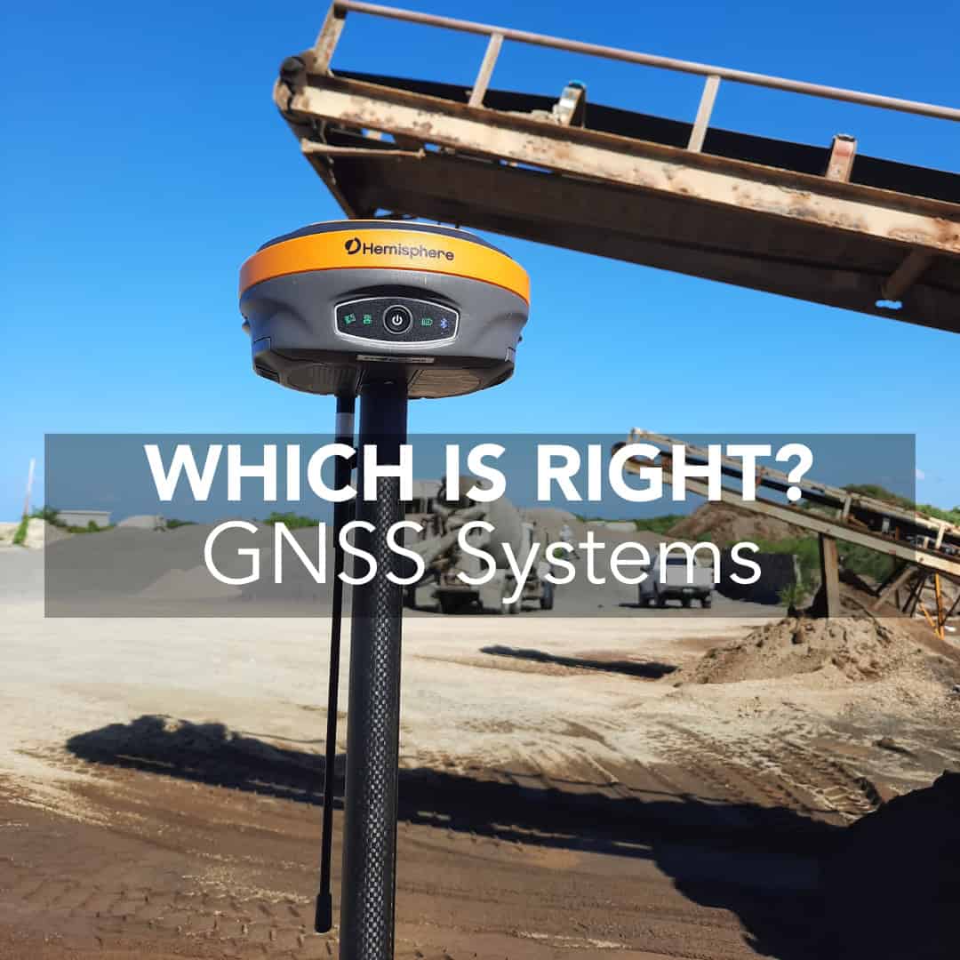
When you set foot on a job site, the measurement tool you bring matters. For many crews, a standard GPS receiver offers sufficient positioning. But for precision surveying, construction layout, and engineering control, you need something markedly better: high-accuracy GPS for surveying. At the same time, it’s critical to understand what separates high-accuracy systems from standard GPS so you buy with confidence, not confusion.
What Standard GPS Means on Site
What High-Accuracy GPS Offers
How the Two Compare in Real-World Terms
When Standard GPS Is Adequate
When High-Accuracy GPS Is Essential
Key Considerations Before You Buy
Final Thoughts
A standard GPS receiver, often called single-point positioning, uses signals from satellites (Global Positioning System (GPS) or combined GNSS) to compute the location of the antenna. But without correction streams, the precision remains relatively coarse. Errors occur due to satellite clock bias, atmospheric delays, multipath (signal reflections) and the geometry of the satellite constellation. One typical result: horizontal positions accurate only to a few meters in open sky.
For many applications like asset tracking, machine guidance in low-tolerance settings, rough control, this level of precision is acceptable. But when you’re laying out infrastructure, monitoring movement or establishing control for survey work, you’ll likely need more.
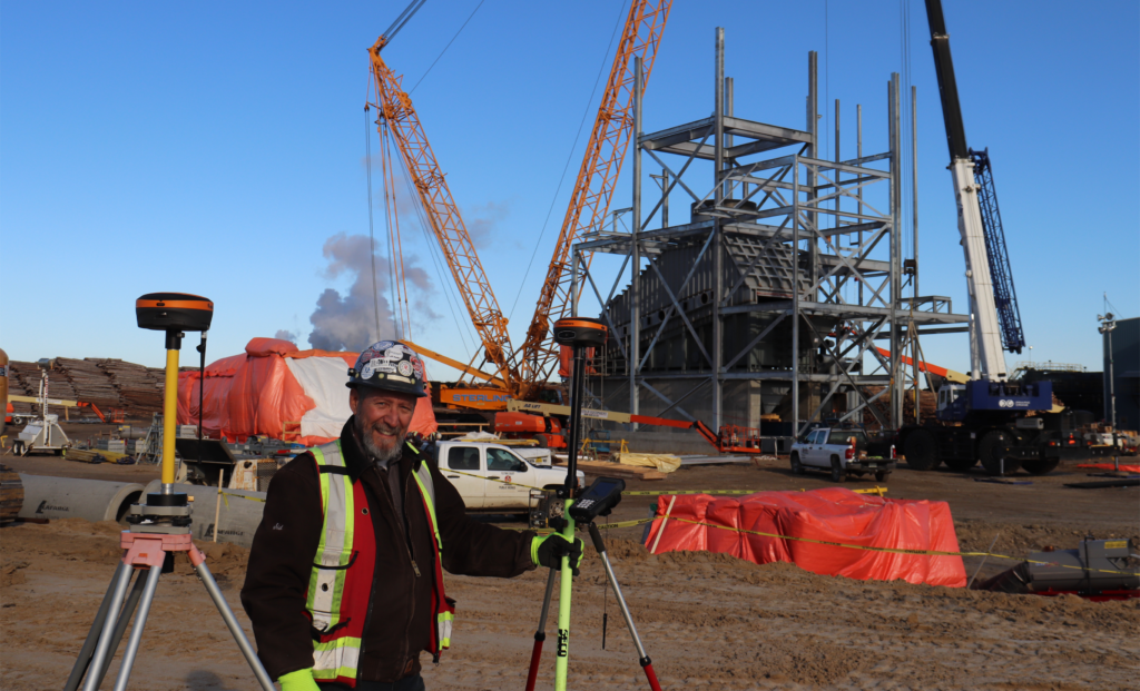
High-accuracy GPS systems, often marketed as RTK (real-time kinematics) or network RTK, bring the precision required for serious surveying and construction workflows. Key features of high-accuracy GPS systems:
With high-accuracy GPS, you’re working with trusted control, reliable coordinates, and the ability to stake out or monitor with confidence.
To decide what makes sense for your workflow, let’s look at how standard GPS and high-accuracy GPS differ in meaningful terms for U.S. crews. Practical comparison points:
Standard GPS may deliver meter-level accuracy; high-accuracy systems deliver sub-centimeter to a few centimetres under good conditions.
Standard GPS often needs only the rover on site; high-accuracy GPS demands a base or network, communications link, and higher-grade hardware.
High-accuracy GPS reduces manual rework, allows immediate layout, and supports digital deliverables. Standard GPS may require post-processing or accept less certainty.
Higher accuracy systems cost more, but when used for control, layout, or high-tolerance work the value often justifies investment.
If your tasks include survey control, boundary work, high-tolerance construction staking, or monitoring, standard GPS is likely inadequate. High-accuracy GPS becomes not just a nice-to-have but a must-have.
There are plenty of job sites where the cost, setup and workflow performance of high-accuracy systems aren’t justified. Standard GPS remains appropriate under the right conditions. Use standard GPS when:
In cases like these, standard GPS can serve well, just ensure you understand its limitations.
For many U.S. projects in surveying, civil engineering, construction, and monitoring, high-accuracy GPS is no longer optional, it’s essential. When coordinate certainty matters, when layout points feed into downstream design or machine control, when rework costs are high, the investment pays off. Use high-accuracy GPS when:
Before you invest in high-accuracy GPS equipment (or decide you’ll stick with standard GPS), consider the following:
Answering these questions helps determine if you need a high-accuracy system right away or if standard GPS is suitable for your current tasks.
Standard GPS still has a role in many U.S. survey and construction workflows, but as precision requirements increase, so does the need for high-accuracy GPS systems. When your deliverables depend on certainty, when layout tolerances are tight, and when data flows into digital workflows rather than just field shooting, the difference is significant.
At Bench-Mark, we know the choices are critical. Whether you’re deploying surveying crews across the U.S., supporting construction layout teams, or establishing engineering monitoring networks, we support the right equipment for your accuracy, workflow, and budget needs. High-accuracy GPS may cost more, but the value it delivers in fewer errors, faster completion, and trusted data often more than pays back.
If you’re evaluating standard GPS versus high-accuracy GPS for your next project, we’re here to help you understand the trade-offs, select the right gear and ensure the solution fits your U.S. workflow, not just the equipment catalogue.
