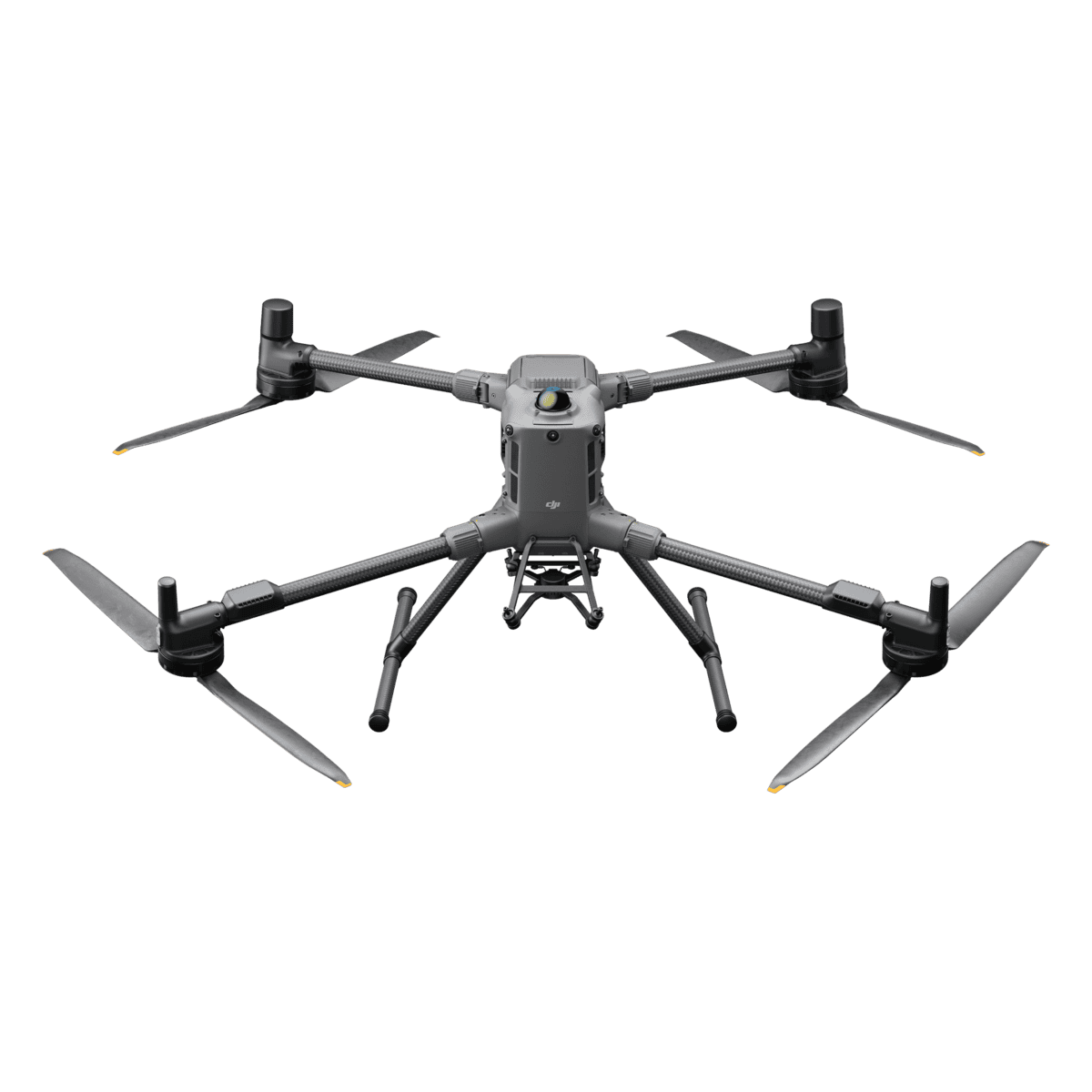
The DJI Matrice 400 is a high-performance drone built for precision surveying and LiDAR scanning. It offers up to 59 minutes of flight time, a 6 kg payload capacity, and advanced obstacle sensing using rotating LiDAR, mmWave radar, and fisheye vision—capable of detecting thin power lines even in low visibility. With Real-Time Terrain Follow and flexible multi-payload support, it captures consistent, high-accuracy data across complex terrain. Rugged and reliable, it handles tough weather conditions and transmits data securely over long distances with the O4 Enterprise system, making it a top choice for mapping and geospatial professionals.


"*" indicates required fields
Product details
Package includes
Reviews
There are no reviews yet.